About

Painter & Decorator


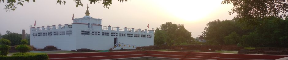
In Buddha’s Footsteps

Buddhism

Author Archives: andystrangeway
Cairnpapple Hill – West Lothian
County: West Lothian Highest Point: Cairnpapple Hill Height (ft): 1,024 Height (m): 312 Grid Reference: NS987711 Dates Slept On: 19/20 January 2014
Posted in County Tops, Extreme Points
Comments Off on Cairnpapple Hill – West Lothian
Spurn Point – South
Having previously spent a night in January 2011 on the “elbow” of Spurn Point, the Easternmost point of the East Riding and Yorkshire, I welcomed the opportunity to spend a night at the Southernmost point of the East Riding Spurn Point – … Continue reading
Posted in Bivy Bag, East Riding, Extreme Points
Comments Off on Spurn Point – South
Greave Clough Head Walk
Today in glorious sunshine I enjoyed my first real walk since spraining my ankle. For the second time I visited Greave Clough Head, the Westernmost point of both the West Riding and Yorkshire. The purpose of this visit was to take … Continue reading
Posted in Extreme Points, Flags, West Riding, Yorkshire, Yorkshire Boundary
Comments Off on Greave Clough Head Walk
South Gare
South Gare sits at the mouth of the River Tees and is the most North Easterly point of the North Riding. This morning the North Riding flag was flown for the first time in North East Yorkshire. I was joined … Continue reading
Posted in Flags, North Riding
Comments Off on South Gare
Docker Knott
The River Lunn forms the boundary between Yorkshire and Westmorland. The boundary continues onto Carlingill Beck which runs down Carlin Gill from the watershed. On top of the watershed is Docker Knott the Northernmost point of the West Riding. The climb … Continue reading
Posted in Extreme Points, Flags, West Riding, Yorkshire Boundary
Comments Off on Docker Knott
Swarth Fell Pike
After my night sleeping on the rock of Filey Brigg Island, the Easternmost point of the North Riding, I drove over one hundred miles to Swarth Fell Pike the Westernmost of the North Riding to spend a night in my bivy … Continue reading
Posted in Extreme Points, Flags, North Riding, West Riding, Yorkshire Boundary
Comments Off on Swarth Fell Pike
Filey Brigg Island
On Tuesday, for the first time since September, I spent a night in my bivy bag. This was the first of three bivy bag nights this week and was at the stunning Filey Brigg Island – the Easternmost Point of the … Continue reading
Posted in Extreme Points, North Riding
Comments Off on Filey Brigg Island
Tyke’s Way Walk
After the unfurling of the North Riding flag a small group walked to Tykes Way, the Northernmost point of the North Riding and Yorkshire. The remains of what appear to be a round house is typical of the Holwick region. … Continue reading
Posted in Extreme Points, Flags, North Riding, Yorkshire, Yorkshire Boundary
Comments Off on Tyke’s Way Walk
Bush Ground – Huntingdonshire
Bush Ground is the county top of Huntingdonshire. Bush Ground is a field of which is part of Bottom Farm, at Covington. The field runs up to the border with Northamptonshire (and is just north of the three shires point … Continue reading
Posted in Bivy Bag, County Tops, Extreme Points
Comments Off on Bush Ground – Huntingdonshire
Kinder Scout – Derbyshire
Kinder Scout is the county top of Derbyshire. It is a high moorland plateau in the Dark Peak of the Peak District. For many years, workers in the factories of Manchester and the surrounding mill towns of south Lancashire used … Continue reading
Posted in Bivy Bag, County Tops, Extreme Points
Comments Off on Kinder Scout – Derbyshire

You must be logged in to post a comment.