
The tripoint of County Durham – Westmorland – Yorkshire sits at the confluence of the River Tees and Maize Beck south of Cow Green Reservoir at the bottom of Cauldron Snout in the North Pennines.
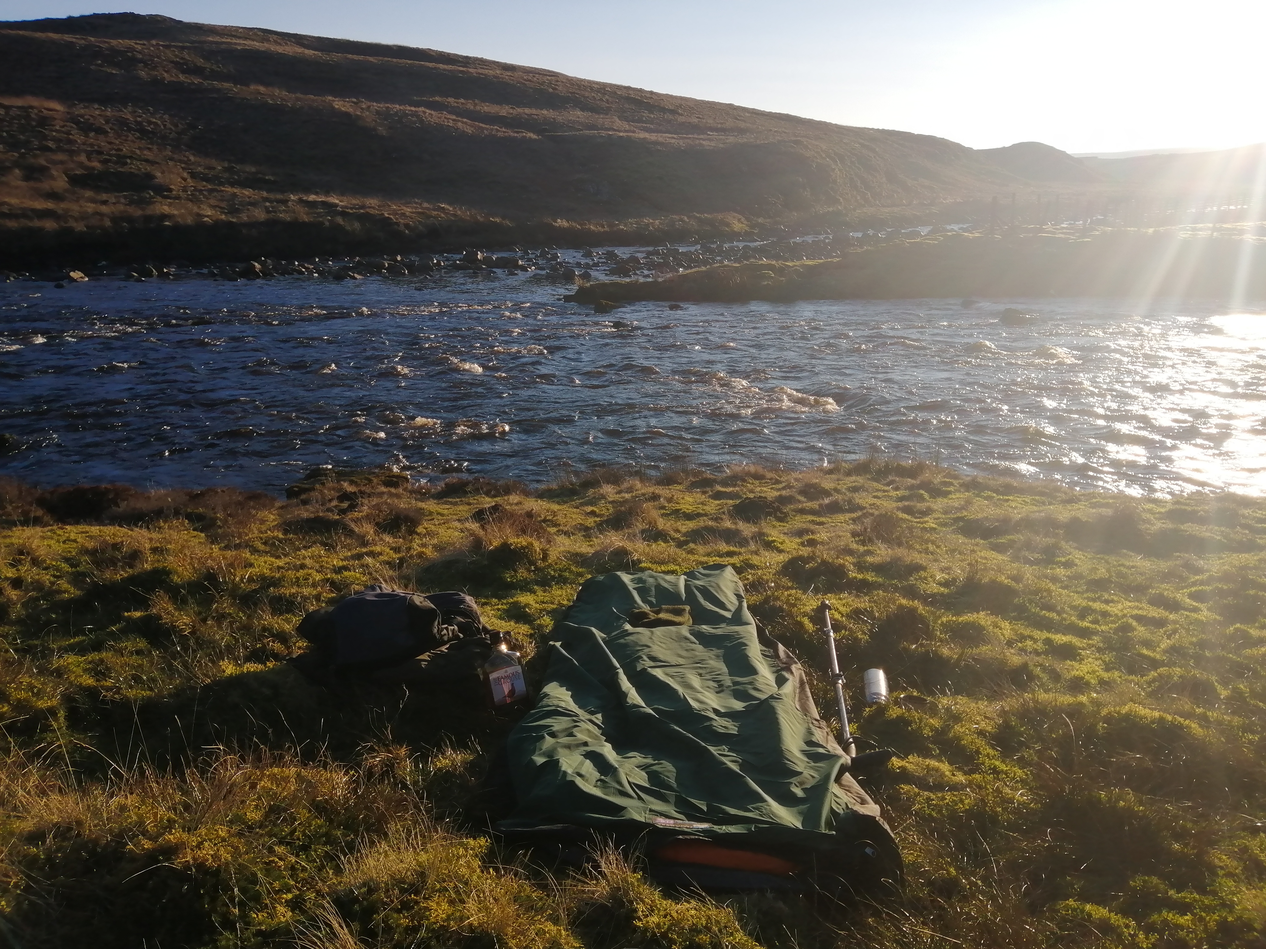 My Bed For The Night
Westmorland is West of the River Tees (North as you look at it) and North of Maize Beck. County Durham is East and North of the River Tees. Yorkshire is South of Maize Beck and the River Tees.
It Doesn’t Get Much Better
One of the most delightful locations on the North Pennines. My route to the tripoint took in the Cow Green Reservoir and Cauldron Snout. While to the South the summit of the hill is Mickle Fell the highest point of Yorkshire and a live firing range.
- Counties: County Durham – Westmorland – Yorkshire
- Tripoint Number: 22
- Dates Slept At: 2/3 March 2021
- Slept In: Bivy Bag
- Grid Reference: 54°39’-0“N, 2°17’13“W
Further Information


You must be logged in to post a comment.