Tripoint 23 – Cheshire – Derbyshire – Yorkshire

The tripoint of Cheshire – Derbyshire – Yorkshire sits at the confluence of the River Etherow and Far Small Clough, just below the A628 south of Holmfirth.

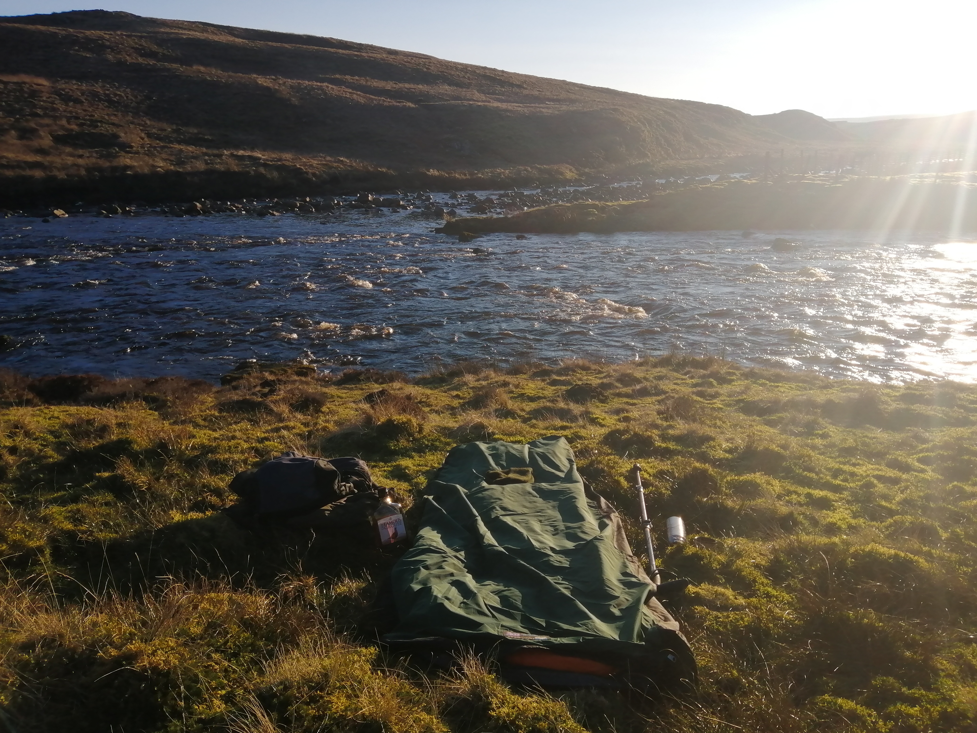
My Bed For 12 Hours

Cheshire is North of the River Etherow. Derbyshire is South of the River Etherow and West of Far Small Clough. Yorkshire is South of the River Etherow and East of Far Small Clough.

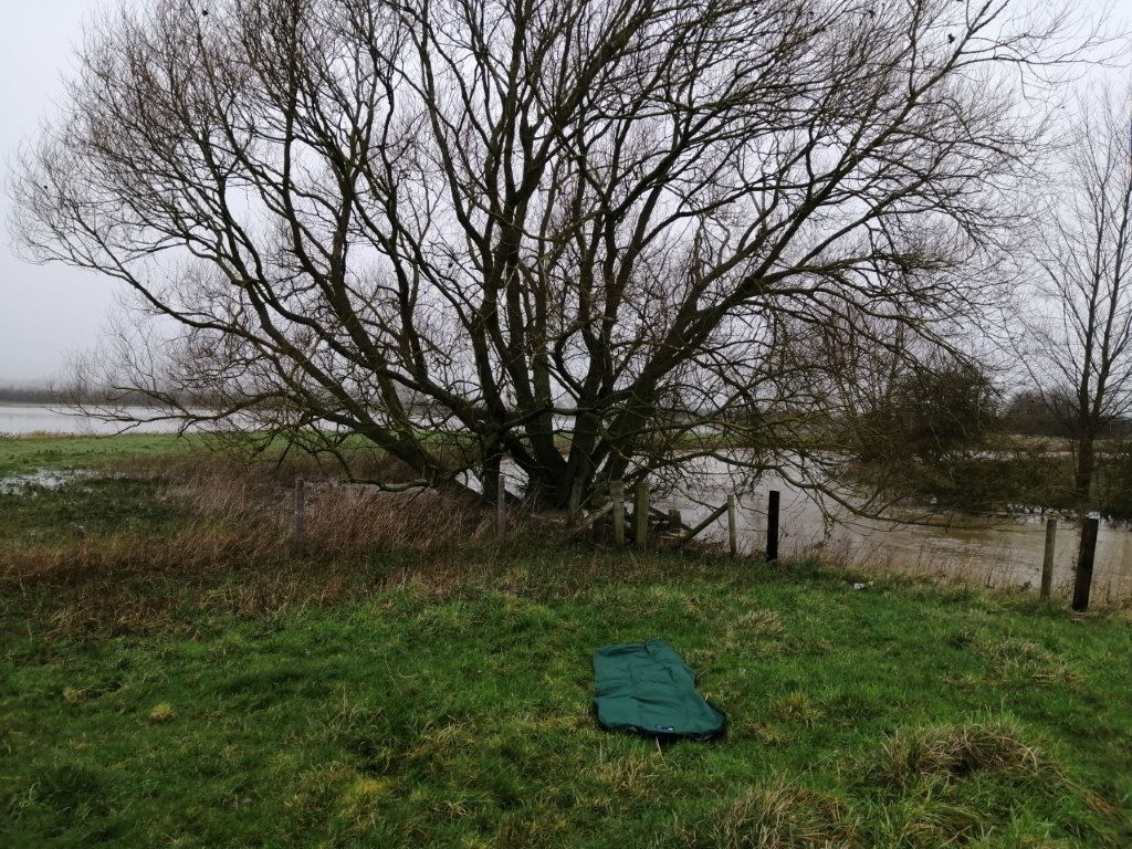
Water From Yorkshire Heading To West Coast

This is the only place I have seen where water from Yorkshire runs off to the West Coast.

Further Information

Posted in Bivy Bag, Tripoint | Comments Off on Tripoint 23 – Cheshire – Derbyshire – Yorkshire

Tripoint 22 – County Durham – Westmorland – Yorkshire

The tripoint of County Durham – Westmorland – Yorkshire sits at the confluence of the River Tees and Maize Beck south of Cow Green Reservoir at the bottom of Cauldron Snout in the North Pennines.

My Bed For The Night

Westmorland is West of the River Tees (North as you look at it) and North of Maize Beck. County Durham is East and North of the River Tees. Yorkshire is South of Maize Beck and the River Tees.

It Doesn’t Get Much Better

One of the most delightful locations on the North Pennines. My route to the tripoint took in the Cow Green Reservoir and Cauldron Snout. While to the South the summit of the hill is Mickle Fell the highest point of Yorkshire and a live firing range.

Further Information

Posted in Bivy Bag, Tripoint | Comments Off on Tripoint 22 – County Durham – Westmorland – Yorkshire

Tripoint 21 – County Durham – Cumberland – Westmorland

The tripoint of County Durham – Cumberland – Westmorland sits at the confluence of the River Tees and Crook Burn north of Cow Green Reservoir in the North Pennines.

My bed for the night

Westmorland is South of the River Tees (West as you look at it). Cumberland is North of the River Tees and West of Crook Burn (East as you look at it). County Durham is East of Crook Burn and the River Tees.

The view walking into the tripoint was rather special

My location to bed down for the night was awesome

Walking out at 04.00 I was blessed to be heading towards a fog bow for about 1km as the moon was behind me and the temperature was down to -3.5. The fog bow was white in colour and this was the first one I have had the pleasure to experience.

Further Information

Posted in Bivy Bag, Tripoint | Comments Off on Tripoint 21 – County Durham – Cumberland – Westmorland

Tripoint 20 – Leicestershire – Northamptonshire – Rutland

The tripoint of Leicestershire, Northamptonshire And Rutland is East of Rockingham, Northamptonshire.

Northamptonshire is South of the river (North as you look at it). Leicestershire is North of the river and West of the beck/fence. Rutland is North of the river and East of the beck/fence.

My bed for the night

Further Information

Posted in Tripoint | Comments Off on Tripoint 20 – Leicestershire – Northamptonshire – Rutland

Tripoint 19 – Bedfordshire – Huntingdonshire – Northamptonshire

The tripoint of Bedfordshire, Huntingdonshire and Northamptonshire is West of Covington, Huntingdonshire.

Bedfordshire is left of the road. Huntingdonshire is right of the road and south of the fence between the water tower and the house. The water tower is in Bedfordshire.  Northamptonshire is right of the road and north of the fence between the water tower and the house. The house is in Northamptonshire.

Further Information

Posted in Tripoint | Comments Off on Tripoint 19 – Bedfordshire – Huntingdonshire – Northamptonshire

Tripoint 18 – Cambridgeshire – Lincolnshire – Northamptonshire

The tripoint of Cambridgeshire, Lincolnshire and Northamptonshire is south of Nene Terrace, Lincolnshire.

Cambridgeshire is right of the beck. Northamptonshire is left of the beck, up to the ploughing/fence. Lincolnshire is to the left of the beck, beyond the ploughing/fence.

Further Information

Posted in Tripoint | Comments Off on Tripoint 18 – Cambridgeshire – Lincolnshire – Northamptonshire

Urra Moor (Round Hill)

Last night I spent my first night under the stars for two and a half years. I chose Urra Moor, the highest point of the North York Moors National Park for my return.

North Riding Flag On The Summit of North York Moors

  • Distance From Home: 59 miles
  • Height (ft): 1,4904ft
  • Height (m): 454m
  • Grid Reference: NZ594015
  • Dates Slept On: 23/24 March 2019

I could not have wished for a more perfect night for a return to my bivy bag.

With the exception of the call of the Red Grouse it was a peaceful nights sleep. Bedding down at 18.30 I awoke to a star filled sky and a bright moon. The moon made it possible to walk down the hill at 04.00 without the aid of my torch.

It was good to be back.

Further Information

North Riding Flag

Posted in Bivy Bag, North York Moors | Comments Off on Urra Moor (Round Hill)

Glas Maol – Angus

Glas Maol is the county top of Angus

  • County: Angus
  • Highest Point: Glas Mol
  • Height (ft): 3504ft
  • Height (m): 1068m
  • Grid Reference: NO166765
  • Dates Slept On: 20/21 September 2016

Posted in Bivy Bag, County Tops | Comments Off on Glas Maol – Angus

Scotland’s 162 Islands Slept On 

In September 2003, I embarked upon my adventure to become the first person not only to land but also sleep on all of Scotland’s 162 islands that are 40 hectares and above, firmly believing that the islands would allow me to spend a night with each one of them. This I completed on 29th August 2007 when I left Soay, St. Kilda.

Slept On Amendment One (2)

Posted in Scottish Islands | Comments Off on Scotland’s 162 Islands Slept On 

County Tops Challenge – England and Wales

For those who are looking for an achievable challenge I share the County Tops Challenge – England and Wales.

Helvellyn – Westmoreland

On Monday 24 September 2012 I completed my  challenge to become the first person to sleep on all 52 county tops of England and Wales, of which 49 were in my bivy bag.

Please see County Tops.

Posted in Bivy Bag, County Tops | Comments Off on County Tops Challenge – England and Wales