About

Painter & Decorator


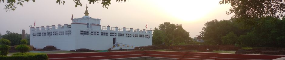
In Buddha’s Footsteps

Buddhism

Category Archives: Extreme Points
Walbury Hill – Hampshire
Walbury Hill is the county top of Hampshire. It is a broad, round hill on the border of Berkshire with Hampshire. Beyond Walbury Hill, the Wayfarer’s Walk definitively enters Hampshire, climbing up to Hampshire’s second hill, Pilot Hill, just a mile … Continue reading
Posted in Bivy Bag, County Tops, Extreme Points
Comments Off on Walbury Hill – Hampshire
Aran Fawddwy – Merionethshire
Aran Fawddwy is the county top of Merionethshire. Its eastern slope is marked with a high cliff; part of a chain of crags stretching north to south for several miles either side of Aran Fawddwy. County: Merionethshire Highest Point: Aran Fawddwy … Continue reading
Posted in Bivy Bag, County Tops, Extreme Points
Comments Off on Aran Fawddwy – Merionethshire
Craig y Fan – Glamorgan
Craig y Fan is the county top of Glamorgan. The name “Craig y Llyn” means “Lake cliff”, referring to the cliffs of its steep northern escarpment which overlook Llyn Fawr. The mountain is covered by forestry, except for the steep north and northeast … Continue reading
Posted in Bivy Bag, County Tops, Extreme Points
Comments Off on Craig y Fan – Glamorgan
Pen y Fan – Brecknockshire
Pen y Fan is the county top of Brecknockshire and indeed the highest ground in Britain south of Snowdonia. The mountain rears up in the Brecon Beacons, within the National Park in the midmost of the mountains. County: Brecknockshire Highest … Continue reading
Posted in Bivy Bag, County Tops, Extreme Points
Comments Off on Pen y Fan – Brecknockshire
Great Rhos – Radnorshire
Great Rhos is the county top of Radnorshire. County: Radnorshire Highest Point: Great Rhos Height (ft): 2,166 Height (m): 660 Grid Reference: SO1821963902 Dates Slept On: 7/8 July 2012
Posted in Bivy Bag, County Tops, Extreme Points
Comments Off on Great Rhos – Radnorshire
Pavis Wood – Hertfordshire
Parvis Wood is the county top of Hertfordshire. County: Hertfordshire Highest Point: Pavis Wood Height (ft): 800 Height (m): 244 Grid Reference: SP9142009190 Dates Slept On: 19/20 December 2011
Posted in County Tops, Extreme Points
Comments Off on Pavis Wood – Hertfordshire
Bushey Heath – Middlesex
Bushey Heath is the county top of Middlesex. County: Middlesex Highest Point: Bushey Heath Height (ft): 509 Height (m): 155 Grid Reference: TQ1523593970 Dates Slept On: 10/11 February 2012
Posted in County Tops, Extreme Points
Comments Off on Bushey Heath – Middlesex
Moel Sych – Montgomeryshire
Moel Sych is the county top of Montgomeryshire. Moel Sych is a mountain top on the ridge of the Berwyn Range, whose summit is the point where three shires meet: Denbighshire, Merionethshire and Montgomeryshire. County: Montgomeryshire Highest Point: Moel Sych Height (ft): 2,726 Height (m): … Continue reading
Posted in Bivy Bag, County Tops, Extreme Points
Comments Off on Moel Sych – Montgomeryshire
Cadair Berwyn – Denbighshire
Cadair Berwyn is the county top of Denbighshire. Cadair Berwyn is a mountain summit on the high ridge which forms part of the border of Denbighshire and Merionethshire. County: Denbighshire Highest Point: Cadair Berwyn Height (ft): 2,726 Height (m): 830 Grid Reference: SJ0716532355 … Continue reading
Posted in Bivy Bag, County Tops, Extreme Points
Comments Off on Cadair Berwyn – Denbighshire
Moel Famau – Flintshire
Moel Famu is the county top of Flintshire. Moel Famau stands on the border of Flintshire and Denbighshire. The hill has been classed as an “Area of Outstanding Natural Beauty” since 1985. Moel Famau is surrounded by several well-preserved Iron-Age hill forts. The name of the … Continue reading
Posted in Bivy Bag, County Tops, Extreme Points
Comments Off on Moel Famau – Flintshire

You must be logged in to post a comment.