About

Painter & Decorator


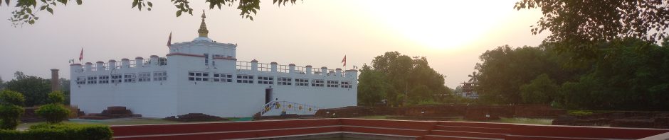
In Buddha’s Footsteps

Buddhism

Category Archives: Bivy Bag
Moel Famau – Flintshire
Moel Famu is the county top of Flintshire. Moel Famau stands on the border of Flintshire and Denbighshire. The hill has been classed as an “Area of Outstanding Natural Beauty” since 1985. Moel Famau is surrounded by several well-preserved Iron-Age hill forts. The name of the … Continue reading
Posted in Bivy Bag, County Tops, Extreme Points
Comments Off on Moel Famau – Flintshire
Black Hill – Cheshire
Black Hill is the county top of Cheshire. Black Hill is a hill in the Peak District, on the border of Cheshire and the West Riding of Yorkshire. It rises up to the north of the Heyden Moor in the westernmost … Continue reading
Posted in Bivy Bag, County Tops, Extreme Points
Comments Off on Black Hill – Cheshire
Normanby Top – Lincolnshire
Normanby Top is the county top of Lincolnshire. Normanby Top is a mile or so north of the village of Normanby-le-Wold. The Viking Way passes close by, on a minor road, and there is a radio mast near the summit. The … Continue reading
Posted in Bivy Bag, County Tops, Extreme Points
Comments Off on Normanby Top – Lincolnshire
Bardon Hill – Leicestershire
Bardon Hill is the county top of Leicestershire. The hill has two very distinct faces – one half is preserved as a “site of special scientific interest”, while the other has been quarried away as the Bardon Hill Quarry. County: Leicestershire … Continue reading
Posted in Bivy Bag, County Tops, Extreme Points
Comments Off on Bardon Hill – Leicestershire
Flitteris Park – Rutland
Flitteris Park is the county top of Rutland. The highest point in Rutland lies within Flitteris Park, on Flitteris Park Farm. The point is in Bealby’s Field and is marked by an Ordnance Survey trig point. County: Rutland Highest Point: Flitteris Park Height (ft): 646 … Continue reading
Posted in Bivy Bag, County Tops, Extreme Points
Comments Off on Flitteris Park – Rutland
Castle Camps – Cambridgeshire
Castle Camps is the county top of Cambridgeshire. Castle Camps is a village in the south-eastern corner of the county 15 miles south-east of Cambridge, and near to the borders of Suffolk and Essex. The highest point in Cambridgeshire lies within … Continue reading
Posted in Bivy Bag, County Tops, Extreme Points
Comments Off on Castle Camps – Cambridgeshire
Arbury Hill – Northamptonshire
Arbury Hill is the county top of Northamptonshire. The hill is part of a three-way watershed. Northamptonshire has the remarkable distinction that no river nor stream however small enters the county from elsewhere, though it is the source of several rivers … Continue reading
Posted in Bivy Bag, County Tops, Extreme Points
Comments Off on Arbury Hill – Northamptonshire
Black Mountains Ridge – Herefordshire
Black Mountain Ridge is the county top of Herefordshire. The Black Mountains are a group of hills spread across Brecknockshire and into Monmouthshire and Herefordshire. They are the easternmost of the four ranges of hills that comprise the Brecon Beacons National Park. … Continue reading
Posted in Bivy Bag, County Tops, Extreme Points
Comments Off on Black Mountains Ridge – Herefordshire
Cheeks Hill – Staffordshire
Cheeks Hill is the county top of Staffordshire, standing on the border between Derbyshire and Staffordshire. The border here forms an acute angle, with Derbyshire all around and Staffordshire in the point; Cheeks Hill stands at the apex. County: Staffordshire … Continue reading
Posted in Bivy Bag, County Tops, Extreme Points
Comments Off on Cheeks Hill – Staffordshire
Wendover Woods – Buckinghamshire
Wendover Woods is the county top of Buckinghamshire. In the woods to the east of the Forestry Commission car park there is a large stone bearing the inscription ‘Highest Point of the Chiltern Hills’ which marks the summit. Those looking for … Continue reading
Posted in Bivy Bag, County Tops, Extreme Points
Comments Off on Wendover Woods – Buckinghamshire

You must be logged in to post a comment.