About

Painter & Decorator


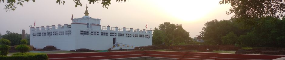
In Buddha’s Footsteps

Buddhism

Author Archives: andystrangeway
Tripoint 6 – County Durham – Cumberland – Northumberland
The tripoint of County Durham, Cumberland and Northumberland is the watershed on Slate Hill, Nenthead. In the photo below the tripoint can be seen at the post to the left of the photo. A cairn is slowly being built to the … Continue reading
Posted in Bivy Bag, County Durham, Tripoint
Comments Off on Tripoint 6 – County Durham – Cumberland – Northumberland
Tripoint 5 – Lancashire – Westmorland – Yorkshire
The tripoint of Lancashire, Westmorland and Yorkshire is marked by the county stone. In the photo below Yorkshire is to the right of the wall (the largest part of course), Westmorland is to the top left and Lancashire the bottom left. … Continue reading
Posted in Bivy Bag, Tripoint, West Riding, Yorkshire, Yorkshire Boundary
Comments Off on Tripoint 5 – Lancashire – Westmorland – Yorkshire
Tripoint 4 – Cumberland – Lancashire – Westmorland
The tripoint of Cumberland, Lancashire and Westmorland is at Wrynose Pass and is marked by the Three shire stone. In the photo below my car is parked in Westmorland and the hill beyond my car is all in Westmorland. Lancashire … Continue reading
Posted in Tripoint
Comments Off on Tripoint 4 – Cumberland – Lancashire – Westmorland
Tripoint 3 – Cumberland – Northumberland – Roxburghshire
The tripoint of Cumberland, Northumberland and Roxburghshire is where the watershed of the Kershope Burn at Scotch Knowe divides Cumberland and Northumberland. Roxburghshire is to the north. In the photo below the tent is in Roxburghshire. Counties: Cumberland – Northumberland – Roxburghshire … Continue reading
Posted in Tripoint
Comments Off on Tripoint 3 – Cumberland – Northumberland – Roxburghshire
Tripoint 2 – Berwickshire – Northumberland – Roxburghshire
The tripoint of Berwickshire, Northumberland and Roxburghshire is where the Carham Burn meets the River Tweed. In the photo below the tent is in Roxburghshire, to the right is Northumberland and across the River Tweed is Berwickshire. Counties: Berwickshire – … Continue reading
Posted in Tripoint
Comments Off on Tripoint 2 – Berwickshire – Northumberland – Roxburghshire
Tripoint 1 – Denbighshire – Merionethshire – Montgomeryshire
The tripoint of Denbighshire, Merionethshire and Montgomeryshire is on the summit of Moel Sych which is the county top of Montgomeryshire. Moel Sych is a mountain top on the ridge of the Berwyn Range, whose summit is the point where … Continue reading
Posted in Tripoint
Comments Off on Tripoint 1 – Denbighshire – Merionethshire – Montgomeryshire
Wharfe’s Mouth Ness
Last night I slept at the Westernmost point of the East Riding at Wharfe’s Mouth Ness near Cawood. What a great place for a night in my bivy bag.
Posted in Bivy Bag, East Riding, Extreme Points, Flags
Comments Off on Wharfe’s Mouth Ness
Ben Nevis – Inverness-shire
County: Inverness-shire Highest Point: Ben Nevis Height (ft): 4,409 Height (m): 1,344 Grid Reference: NN166712 Dates Slept On: Tuesday 30/Wednesday 31 August 2011 Ben Nevis was the first of the Three Peaks I slept on the summit of. WARNING: THE … Continue reading
Posted in County Tops, Extreme Points
Comments Off on Ben Nevis – Inverness-shire
Meikle Says Law – East Lothian
County: East Lothian Highest Point: Meikle Says Law Height (ft): 1,755 Height (m): 535 Grid Reference: NT581617 Dates Slept On: 21/22 January 2014 Good Morning East Lothian
Posted in County Tops, Extreme Points
Comments Off on Meikle Says Law – East Lothian
Meikle Says Law Shoulder – Berwickshire
County: Berwickshire Highest Point: Meikle Says Law Shoulder Height (ft): 1,746 Height (m): 532 Grid Reference: NT581616 Dates Slept On: 20/21 January 2014 In the distance is my tent on the highest point of East Lothian
Posted in Bivy Bag, County Tops, Extreme Points
Comments Off on Meikle Says Law Shoulder – Berwickshire

You must be logged in to post a comment.